Case study · Drone mapping, McKinney, Texas
343 photographs.
One measurable map.
Field notes
Photogrammetry, proven on a real site
From flight plan
to 3D model.
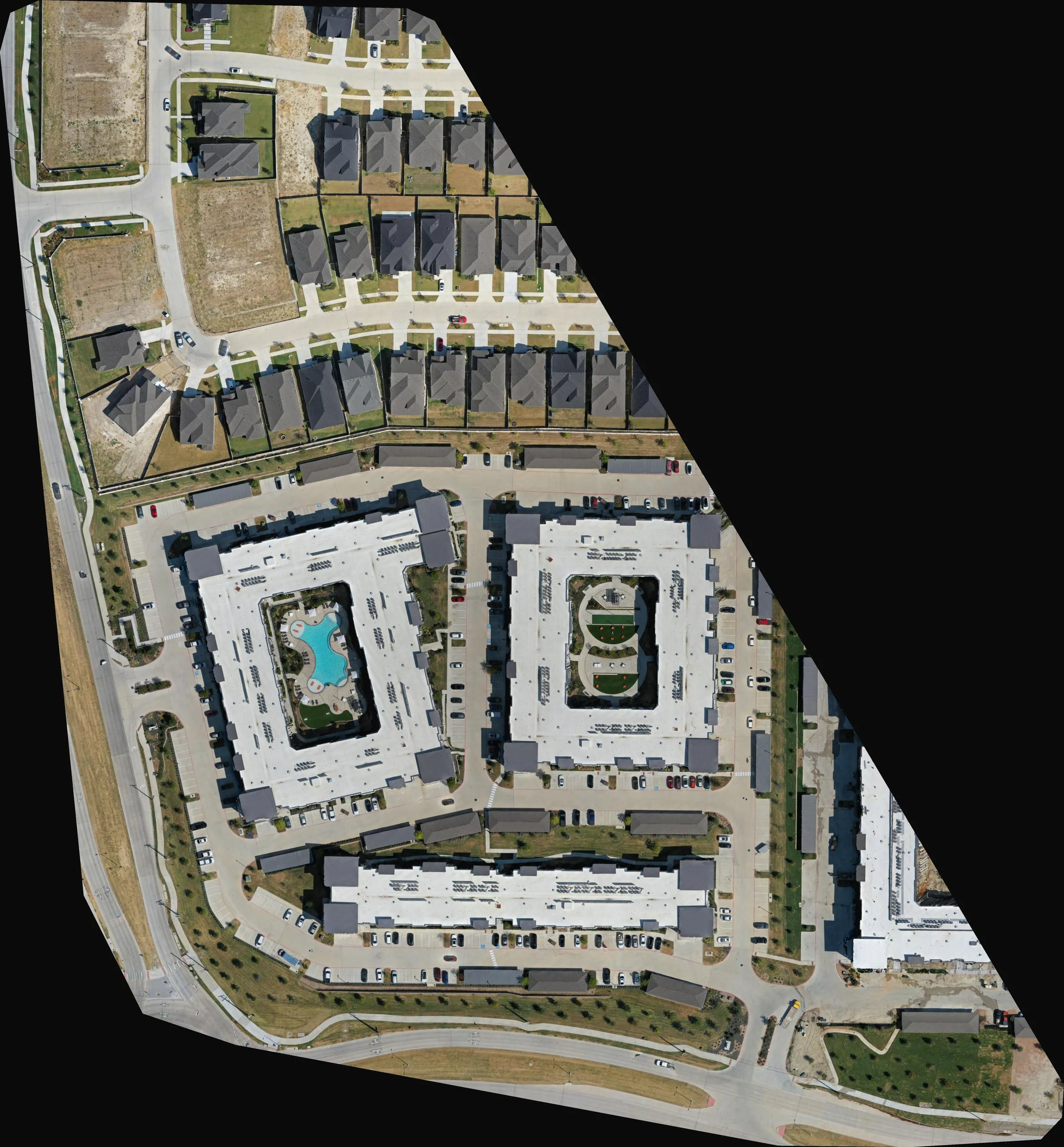
Before we offer a service, we fly it. On September 1, 2026 we mapped a 27-acre multifamily community on Lake Forest Drive in McKinney, Texas: two courtyard apartment buildings, a row of townhomes, the parking that serves them, and the road network around the site. One automated flight at 292 feet above ground captured 343 overlapping photographs on a 20-megapixel Hasselblad camera.
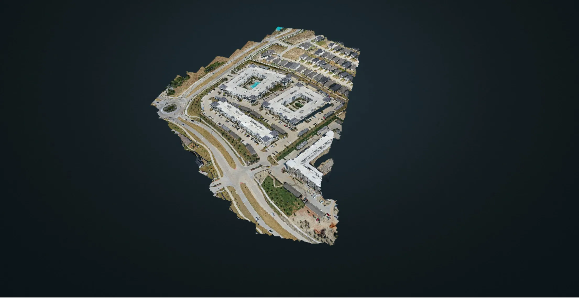
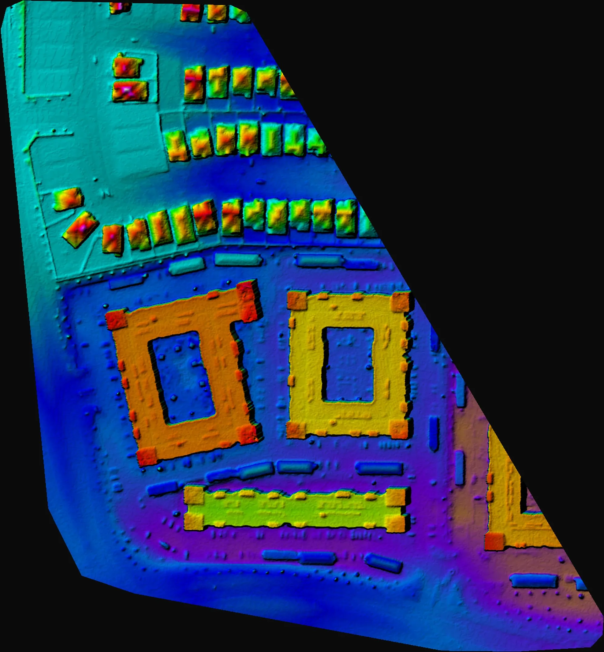
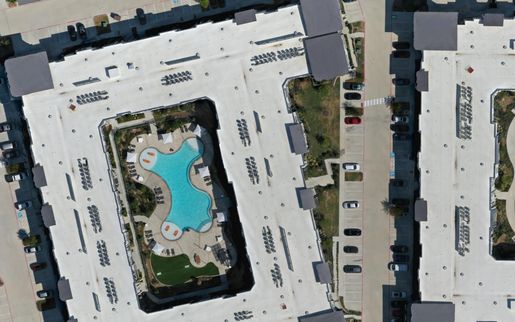
The photographs were processed twice, on purpose. Maps Made Easy, a cloud photogrammetry service, returned a trimmed orthomosaic and a colorized elevation model in about three and a half hours. Our local WebODM pipeline, built on OpenDroneMap, produced the full-resolution dataset at 2.53 centimeters per pixel, a 42.7-million-point cloud, and the textured 3D model shown below in just over two hours. Comparing the two is how we set honest expectations for mapping clients.
What the dataset answers: roof areas for the apartment buildings, parking counts, the fall from the townhomes down to the drainage channel along the road, and stockpile volumes on the unfinished lots at the north end. The elevation model shows 63 feet of relief across the site, from 670 to 733 feet.
Georeferencing on this flight was GPS only, so the model is consistent within itself to a few centimeters while its absolute position sits within a couple of meters. For certified results a surveyor sets ground control before we fly; the accuracy note on the mapping page explains the difference.
By the numbers
One flight, in figures.
Every number below comes from the processing records, not from a brochure.
The outputs
Map, model, measurements.
The textured 3D model, the colorized elevation model, and a one-to-one crop of the orthomosaic at full resolution.