
FAA Part 107 certified · Statewide
Drone Services in Texas Aerial Photography, Inspections & Mapping
Image Media Lab is your FAA-certified partner for high-end drone services in Dallas, Fort Worth, and across Texas. We deliver stunning aerial photography, cinematic videography, and precise drone inspection data for brands, construction, and real estate.
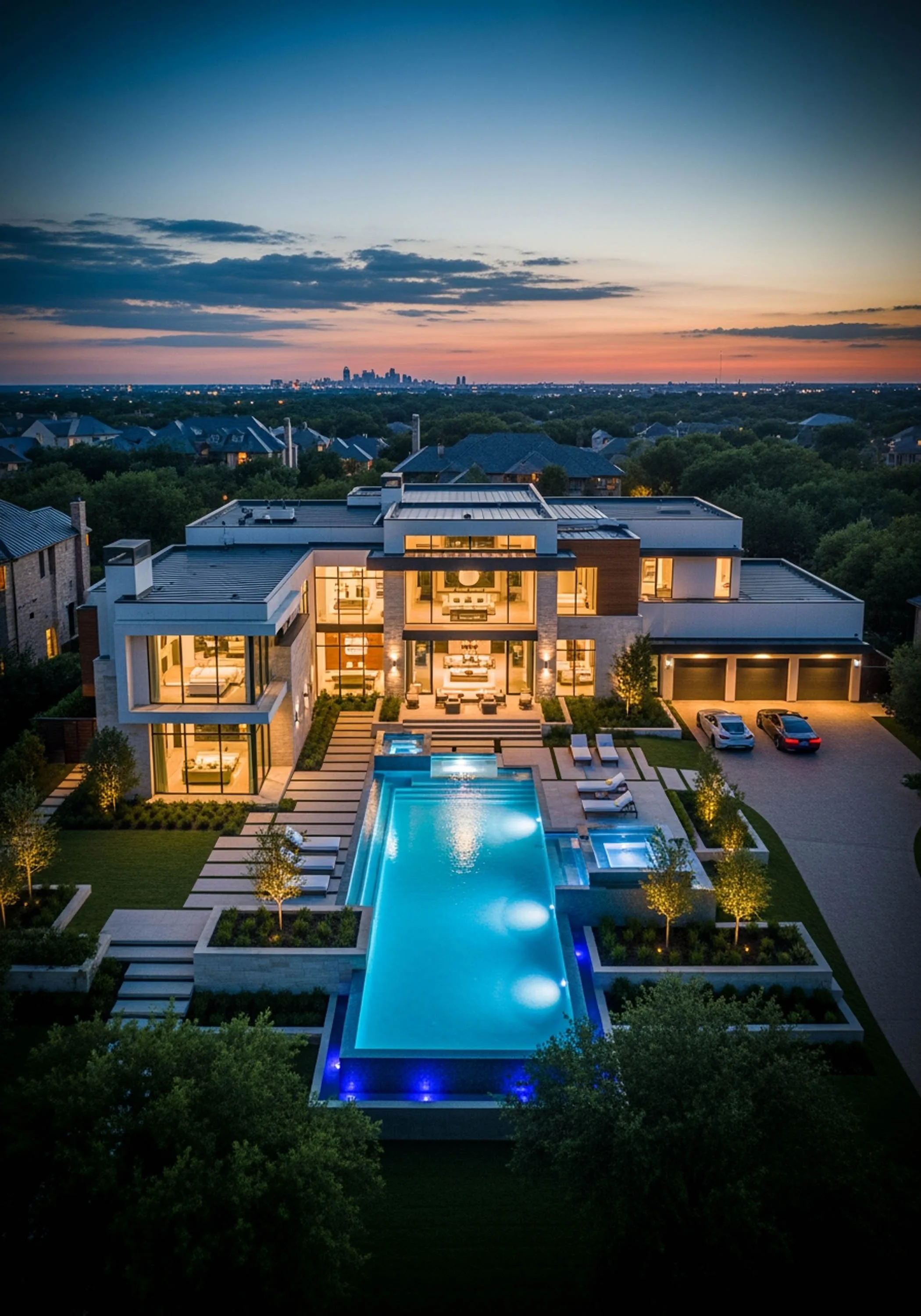
FAA Part 107 certified and insured. Airspace authorizations handled.
Proof in motion
Drone video reelWatch the reel.
The studio reel while the dedicated aerial reel is in the edit: drone work alongside the interviews, brand films, and event coverage it supports.
01 / The services
Drone services in TexasSix services.
One flight crew.
Aerial photography and video, drone inspections, construction progress documentation, and photogrammetry-based mapping, flown by FAA Part 107 certified pilots who help your team document assets, reduce risk, and keep people on the ground.
- 01
Cinematic 4K
Aerial Video Production
Aerial footage that carries a brand film: smooth, cinematic 4K, professionally edited and color graded for marketing, corporate video, and commercials.
- 02
20MP+ stills
Drone Photography
High-resolution aerial photography for marketing, documentation, and project showcases, edited and optimized for web and print.
- 03
Weekly or monthly flyovers
Construction Progress Documentation
Scheduled flights on a weekly or monthly cadence that document construction progress with dated orthomosaics, oblique photo sets, and 4K video, keeping owners, lenders, and stakeholders informed.
- 04
No scaffolding, no lifts
Drone Inspections
Safe, efficient aerial inspections of roofs, towers, and rooftop equipment that keep workers on the ground. Photos plus detailed reports, from $900.
- 05
Listings that stand out
Real Estate Aerial Video & Photography
Professional aerial media for commercial and residential properties: video tours, high-res photography, and virtual tour integration.
- 06
Orthomosaics, 3D models, volumes
Drone Mapping & Photogrammetry
Orthomosaic maps, 3D models, digital terrain models, and volumetric measurements from photogrammetry, delivered in the formats your CAD and GIS software reads.
02 / Aerial cinematography
Aerial videography and drone photographyThe camera,
400 feet up.
Smooth, cinematic 4K aerial footage for brand films, commercials, and high-end real estate listings, shot by the DFW aerial videography team that understands story, lighting, and composition.
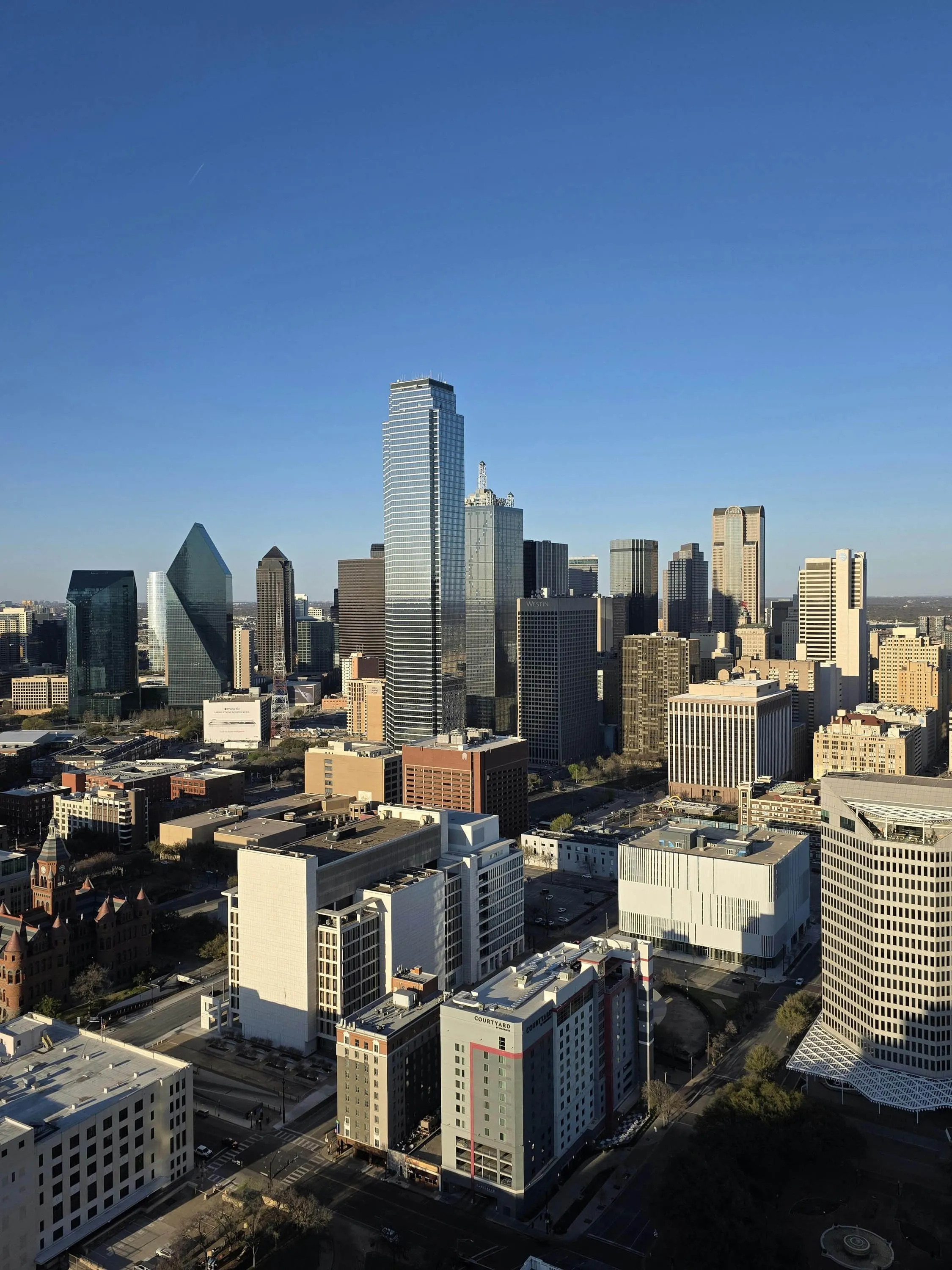
Aerial cinematography is a core part of our video production services, not a bolt-on. The same eye that frames an executive interview frames your establishing shot, so the aerials cut cleanly into the film they belong to.
Real estate aerials that sell the view
Commercial brokers, luxury residential listings, property management, land sales, and hotel marketing: aerial video tours and high-res photography that make a property stand out, with virtual tour integration when you need it.
Deliverables: cinematic 4K aerial video, professionally edited and color graded, plus 20MP+ photography optimized for web and print.
Perfect for
- Commercial real estate tours
- Corporate facility overviews
- Brand films and commercials
- Event aerial coverage
- Location establishing shots
- Documentary and film production
- Luxury residential listings
- Hotel and resort marketing
- Land sales and development
03 / Drone inspections
Commercial drone inspections across TexasLook close.
Stay grounded.
Safe, efficient aerial inspections that eliminate the need for scaffolding, lifts, or risking worker safety.
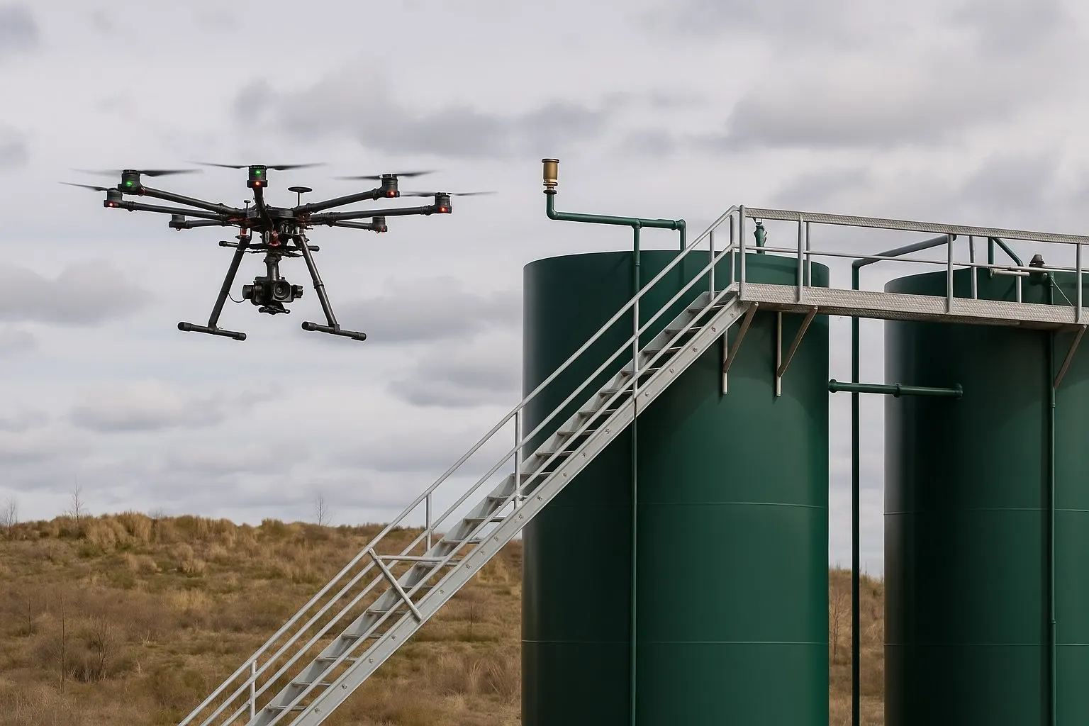
High-resolution imagery for roof inspections, utility towers, and infrastructure across Texas. Teams call us when they need to mitigate risk, reduce costs, and get accurate visual data without putting a crew at height.
One flight replaces days of access equipment. Your facilities stay open, your people stay on the ground, and the record you keep is sharper than anything shot from a lift.
Deliverables: high-resolution inspection photos, annotated findings, and a report your engineer or property manager can act on. Inspection scope and pricing.
Inspection capabilities
- Roof and building envelope
- HVAC and rooftop equipment
- Cell towers and communications infrastructure
- Solar panel arrays
- Parking lots and facilities
- Structural assessments
Cell tower drone inspections in DFW
We inspect cell towers and communications infrastructure across Dallas-Fort Worth and the rest of Texas: antennas, mounts, and structural steel documented in sharp detail without sending a climber up the tower. Downtime stays low, and your crew stays on the ground.
Every tower flight runs under FAA Part 107 with airspace authorization handled in planning. You receive organized photo sets and a detailed report your engineers can act on.
04 / Mapping & photogrammetry
Drone mapping and photogrammetryMaps, models,
measurements.
Orthomosaic maps, 3D models, and volumetric data produced with photogrammetry for construction, engineering, and land management teams, with accuracy scoped to how the data will be used.
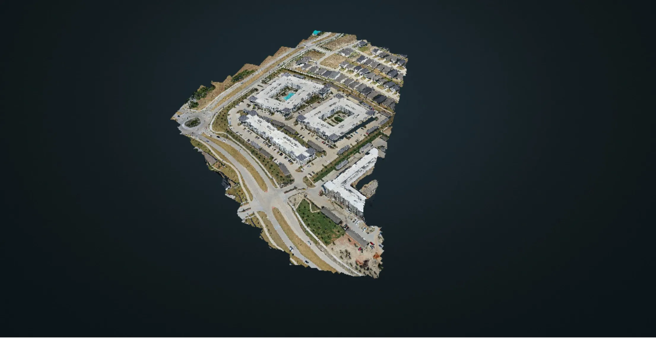
From groundbreaking to topping-off, our construction progress documentation keeps DFW projects on schedule and stakeholders informed: scheduled progress flights, 2D orthomosaic and 3D aerial mapping, oblique photo sets, and 4K video of the site.
Weekly or monthly flights on a repeatable flight plan become a dated archive and a time-lapse sequence, useful for owner reports, lender draws, and project marketing alike.
Deliverables: orthomosaic maps (GeoTIFF), 3D models and point clouds, digital surface and terrain models, volumetric reports, and photo and video sets, in formats your CAD and GIS software reads.
A note on surveying: Image Media Lab is a drone mapping and photogrammetry provider, not a licensed land surveying firm. Boundary, topographic, and construction surveys in Texas are performed under a Registered Professional Land Surveyor (RPLS). When a project needs survey-grade or certified results, we fly and process the data under the direction of your surveyor or engineer, who sets ground control and certifies the deliverables.
Drone mapping and photogrammetry, in detail ↘ The McKinney mapping case study ↘ Construction progress programs ↘Photogrammetry & orthomosaics
Hundreds of overlapping aerial images processed into one high-resolution, georeferenced map of the whole site, exported as GeoTIFF for GIS and CAD.
3D models & terrain data
Textured 3D models, point clouds, and digital surface and terrain models for planning, visualization, and design review.
Volumetric measurements
Stockpile volumes and cut and fill estimates measured from the 3D model, captured without slowing the site down.
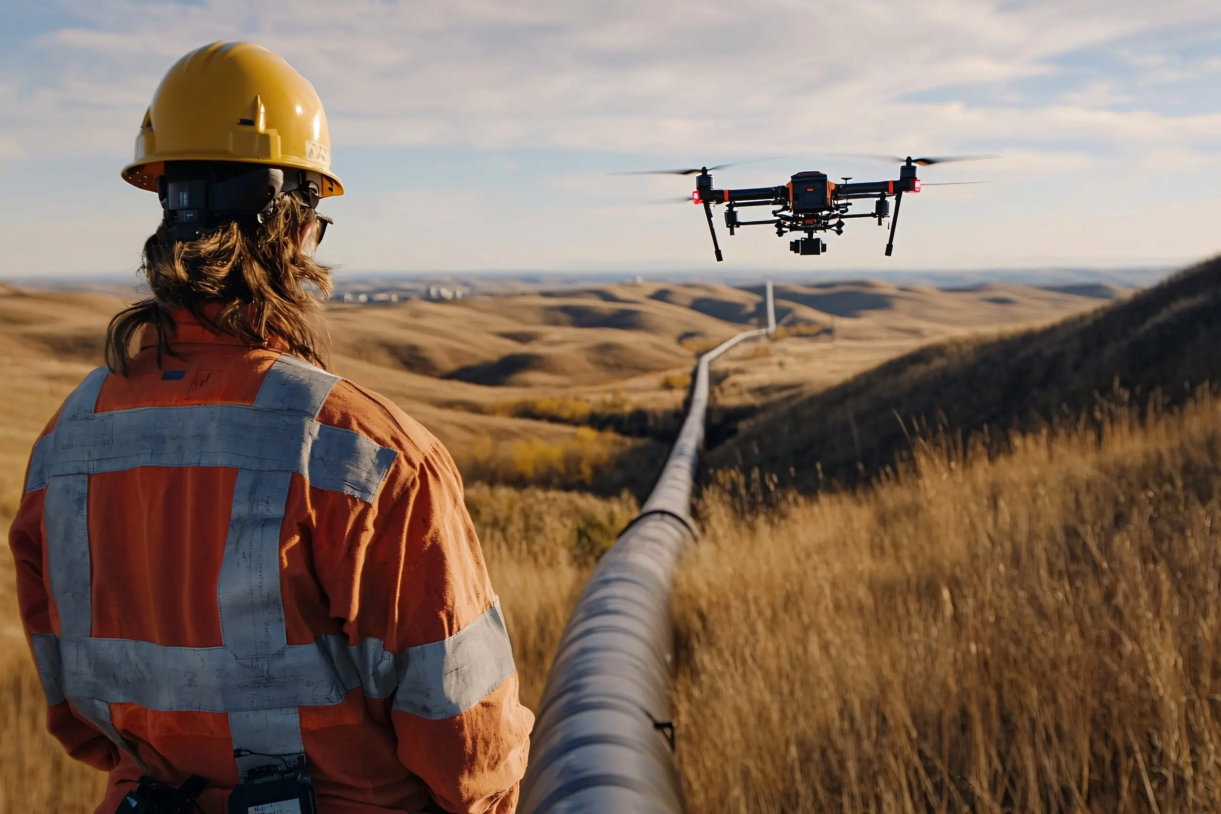
FAA Part 107 drone pilotsCertified.
Insured.
On schedule.
- Part 107
- FAA certified and insured
- 4K
- Cinematic aerial video
- 20MP+
- Stills for web and print
- 6
- Texas regions on call
06 / Energy & industrial sites
Energy and industrial drone servicesIndustrial sites,
documented.
Asset documentation, inspection flights, and mapping for energy, industrial, and infrastructure companies across Texas, from the Permian Basin to the Gulf Coast.
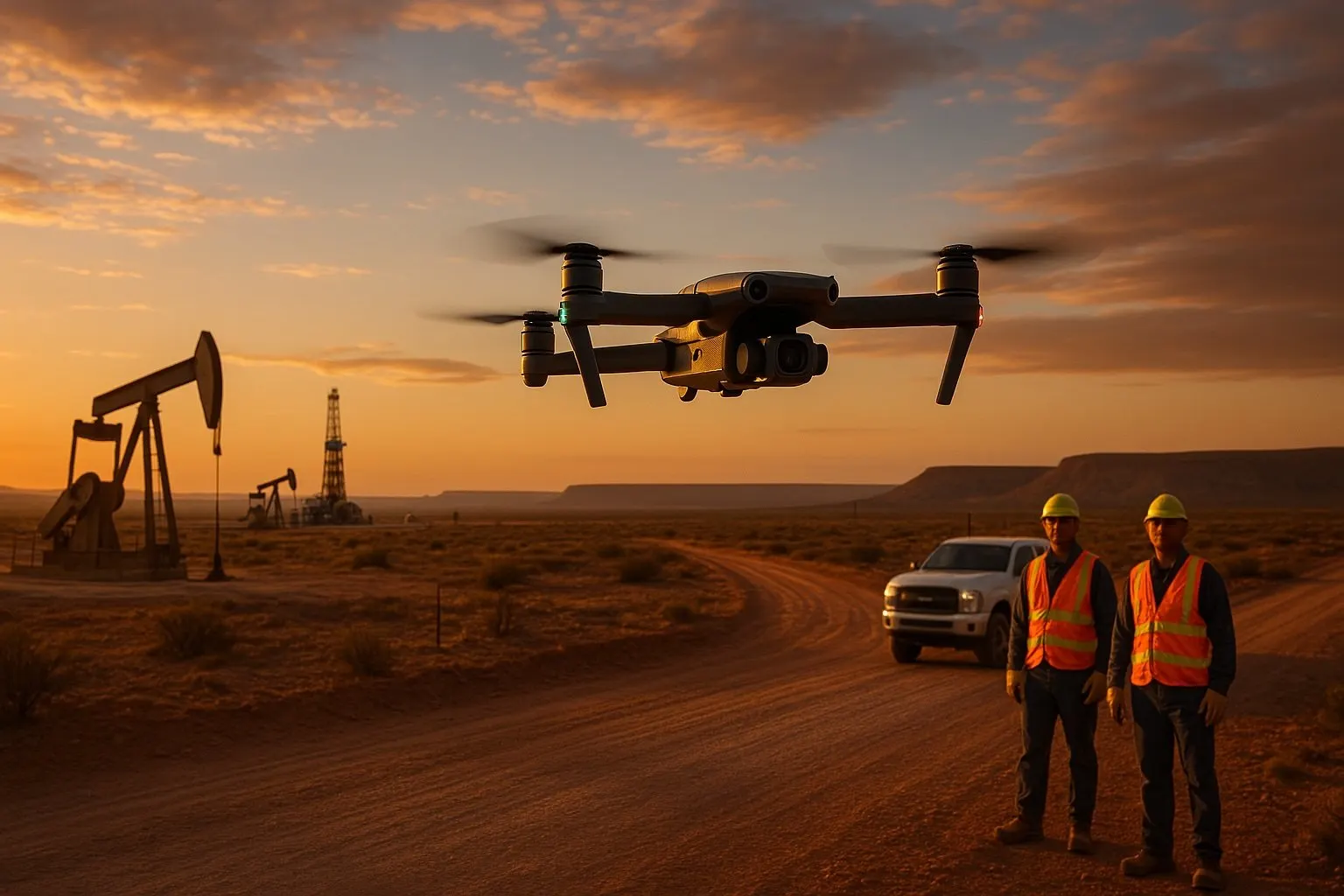
Whether you are based in a booming city or on a remote job site, our FAA-certified pilots are ready to deploy. Aerial photography, video, and mapping help your team document assets, meet environmental standards, and keep people out of hazardous areas.
In West Texas we cover Midland, Odessa, Big Spring, Andrews, Monahans, Pecos, Fort Stockton, and San Angelo, with mapping, inspection, and documentation flights built around your field schedule.
Drone work for oilfield companies ↘ See the work ↘07 / Our process
How a drone project worksFive steps, wheels up.
One senior team handles the authorization, the flight, and the post. You get files that are ready to use.
- 01
Discovery Call
We discuss your goals, site location, and project needs, then provide a custom quote.
- 02
Flight Planning
We handle FAA airspace authorizations, safety assessments, and pre-flight logistics.
- 03
On-Site Capture
We arrive with professional drones and collect high-quality data and visuals.
- 04
Post-Processing
Imagery is processed in professional photogrammetry and editing software and optimized for your use case, from raw footage and photo sets to orthomosaics, 3D models, and reports.
- 05
Delivery
Final files are delivered securely via cloud link, ready for presentation, documentation, or integration into your workflow.
08 / Where we fly
Drone services across Texas citiesAll of Texas,
on call.
Dallas-Fort Worth first, then the rest of Texas, then Oklahoma and Louisiana with travel quoted up front. Every flight is planned from our Dallas studio.
Dallas-Fort Worth (DFW Metroplex)
Serving the DFW Metroplex and greater North Texas, including Denton, Frisco, Plano, McKinney, Irving, Lewisville, and Garland.
Houston
Aerial drone photography and video across Houston and Southeast Texas.
San Antonio
Stunning visuals from the Riverwalk to the Alamo and beyond.
Austin
Drone imagery across the Central Texas region, from the state capitol to Round Rock and surrounding areas.
East Texas
Commercial and industrial clients in Waco, Beaumont, Tyler, Texarkana, Huntsville, and surrounding areas.
Midland & West Texas
Mapping, inspection, and documentation flights across the Permian Basin: Odessa, Big Spring, Andrews, Monahans, Pecos, Fort Stockton, and San Angelo.
09 / What we offer
Drone data and cinematic aerialsMore than footage.
We provide more than just drone footage; we deliver actionable data and a unique cinematic perspective. Certified pilots, equipped for projects of any scale, from a single property shoot in Dallas to a complex, multi-site construction inspection. High-resolution imaging, photogrammetry, and 3D mapping, faster, safer, and more affordable than traditional methods.
10 / FAQ
Drone services questionsAsked, answered.
Are you FAA certified and insured?
Yes. Image Media Lab flies under FAA Part 107 certification and carries insurance for commercial drone work. Every project includes FAA airspace authorizations, safety assessments, and pre-flight logistics handled by us.
How much do drone services cost in Texas?
Drone projects are quoted custom because site, scope, and deliverables vary widely. We scope your project on a short discovery call and send a fixed quote. If you want aerials inside a larger production, our video production packages run $1,500 to $15,000.
Where in Texas do you fly?
Dallas-Fort Worth is home and carries no travel fee. We fly statewide across Texas, with travel quoted up front for jobs outside DFW, and we take projects in Oklahoma and Louisiana with a travel fee on the same terms.
What do drone inspections deliver?
High-resolution inspection photos and a detailed report, covering roofs and building envelopes, HVAC and rooftop equipment, cell towers, solar arrays, parking facilities, and structural assessments. Thermal and LiDAR are not part of our current kit; when an assessment calls for them we say so up front and coordinate with a specialist partner.
Can you produce mapping data my engineer or surveyor can use?
Yes. Photogrammetry flights are processed into orthomosaic maps, 3D models, point clouds, digital terrain models, and volumetric reports, delivered in formats your CAD and GIS software reads. Image Media Lab is not a licensed land surveying firm, so boundary, topographic, and construction surveys are performed under your Registered Professional Land Surveyor or engineer, who provides ground control and certifies the results. We fly, process, and deliver the data.
Can you document a construction project over time?
Yes. We fly weekly or monthly progress flights from groundbreaking to topping-off, keep stakeholders informed, and turn the archive into time-lapse sequences and marketing assets.
Start a project
Put a certified pilot on your project.
Whether you need a comprehensive drone inspection, real estate aerial photography, or cinematic aerials for your brand, tell us about the site and the goal. We reply with a clear next step and a custom quote.
Brief received
Thanks. You’ll hear from us in writing within one business day.
Your brief is with our Dallas team. If it is urgent, call (469) 370-9832 and we will pick up. If a call helps after the first reply, pick a time.