
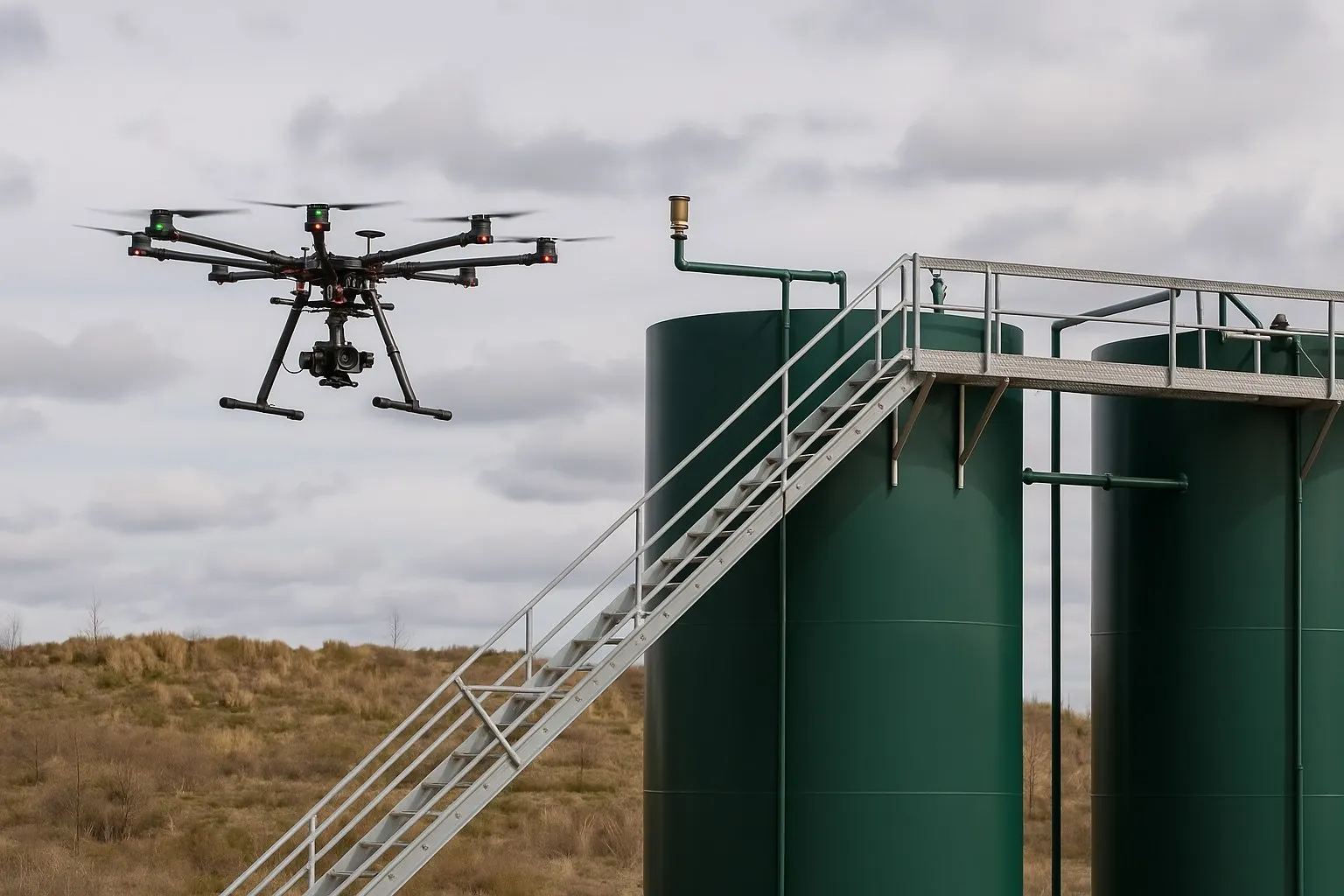
The short answer for Dallas-Fort Worth: a professional drone inspection of a single commercial structure starts at $900, and you have the exact number in writing before anyone flies. Multi-building properties, cell tower portfolios, and industrial sites are quoted per site. This guide explains what sits inside that number, what moves it, and how a drone inspection compares with the lift, the rope crew, or the climber it replaces.
Related service: drone inspection services across Texas, from $900.
What you are actually paying for
A drone inspection is cheap to fly and expensive to do properly, and the price difference between vendors is usually the second part. A professional quote covers:
- A certified pilot. FAA Part 107 certification, current recurrent training, an aircraft with Remote ID, and liability insurance with a certificate available before the flight.
- Airspace authorization. Most of Dallas-Fort Worth sits inside controlled airspace around DFW International, Love Field, and the smaller airports. LAANC authorization is handled in planning, not on the morning of the job.
- The flight itself. One to three hours on site for a single structure, with overlapping passes on every elevation so nothing is photographed once from a bad angle.
- The imagery. Photographs at up to 48 megapixels, organized by elevation or structure, so a hail strike or a loose bracket is visible at full resolution rather than in a thumbnail.
- The report. Annotated findings with location callouts and a PDF your engineer, property manager, adjuster, or contractor can forward, delivered within three business days.
A quote that leaves out any of those is not cheaper; it is a different product.
Typical drone inspection costs by type
Every inspection we fly is quoted per site, and the starting price holds for the simplest version of each job. Here is how the types compare and what the quote depends on.
| Inspection type | Starting point | What the quote depends on |
|---|---|---|
| Commercial roof, one building | From $900 | Roof size, number of penetrations and rooftop units, report depth |
| Multi-building property or campus | Quoted per site | Building count, site access, whether one flight day covers it |
| Cell tower or communications structure | Quoted per tower | Tower height, mount count, portfolio size, airspace |
| Solar array | Quoted by acreage | Array size, string-level photo layout, access roads |
| Industrial site: tanks, stacks, pipeline segments | Quoted per site | Access, airspace, hazard planning, deliverables |
| Storm-damage documentation | From $900 | Same as a roof inspection, moved to the front of the schedule |
Two things are true of every row. First, the number is fixed before the flight, not metered afterward. Second, portfolios and recurring schedules are priced as a series, so a property manager with twelve roofs or a tower owner with forty sites pays less per structure than the starting price suggests.
What moves the price
Five factors explain most of the difference between two quotes for the same address:
- Structure count and height. One roof is one flight. A campus with six buildings is a flight day. A tower is a slower, more deliberate flight with more photographs per vertical foot, which is why tower work is quoted per tower.
- Access and airspace. A site inside a LAANC grid gets authorization in minutes. A site under a zero-altitude grid, near a heliport, or inside a temporary flight restriction needs a manual authorization that can take weeks, and the schedule reflects that.
- Deliverables. A photo set organized by elevation is the base. Annotated findings, a written report, and a 4K video pass of the asset each add edit time, so the quote lists what is included.
- Urgency. Storm-damage flights go to the front of the schedule and usually fly within days of a hail or wind event, because the adjuster and the contractor both need a dated record before repairs begin.
- Travel. Dallas-Fort Worth carries no travel fee. The rest of Texas is quoted with travel up front, and projects in Oklahoma and Louisiana take a travel fee on the same terms.
Drone inspection vs. the traditional methods
The number that makes a drone inspection easy to approve is not the drone quote; it is everything the drone quote replaces:
- A boom or scissor lift: the rental, the delivery, the operator, and a person at height for the whole inspection.
- A rope-access team: two technicians, rigging time before the first photograph, and a day rate that runs well past a drone flight.
- A tower climb crew: the climb itself plus the site’s downtime, which is usually the larger cost.
- Scaffolding: days of setup on a single facade before an inspector sees anything.
A drone inspection from $900 puts the same photographs in your engineer’s inbox in three business days, with nobody leaving the ground. On a tower, the difference is not the cost of the climb; it is the downtime that never happens.
What a from-$900 inspection includes
The starting price in Dallas-Fort Worth is a complete inspection, not a teaser:
- Full-resolution photo set, organized by elevation or structure
- Annotated findings with location callouts
- PDF report within three business days, sooner after storms
- 4K video pass of the asset on request
- Cloud delivery, with the files yours to keep
When a drone inspection is the wrong tool
An honest vendor tells you this before quoting. A visual drone inspection is not a thermal survey, not a LiDAR scan, and not a substitute for contact testing. We do not fly thermal or LiDAR sensors; when a project needs them, for example locating moisture under a roof membrane or modelling terrain under tree cover, we say so up front and coordinate with a specialist partner. Confined spaces, ultrasonic thickness testing, and anything that requires touching the asset stay with the inspection engineers. What the drone report does is give those engineers a dated, location-stamped picture of the asset before they decide where to send a person.
How to get an exact number
Three things produce an accurate quote the first time: the address, the structure type and count, and the question the report needs to answer. Send those through the drone inspection page and the fixed quote, the first available flight date, and the airspace situation for your site come back within one business day. For the wider picture of what we fly across Texas, including photogrammetry mapping and construction progress programs, start at the drone services hub.